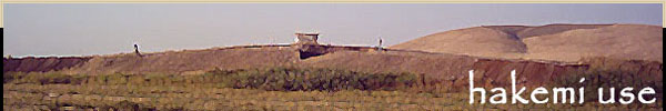

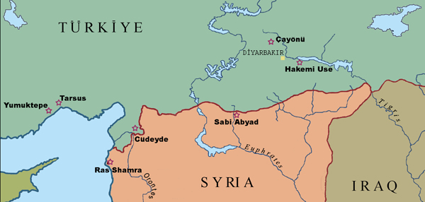
Hakemi Use is located in Southeastern Anatolia, ca. 150km inside the
modern Turkish-Syrian border, to 80km east of Çayönü Tepesi; which is
one of the significant Neolithic sites of Near East, as the crow flies.
The excavations at Hakemi Use have been carried out by a scientific
team from Hacettepe University, Ankara under the supervision of the
Diyarbakır Museum Directorate within the scope of the Ilısu Dam which
is scheduled to be constructed on the Tigris River. The excavations
which have started in 2001 couldn't be carried out in 2003 because of
bureaucratic problems. The excavations in the settlement are planned
to be carried out until the construction of the Ilısu Dam is finished.
 |
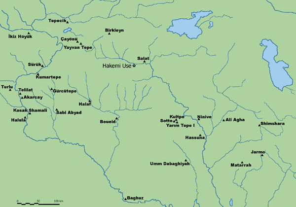 |
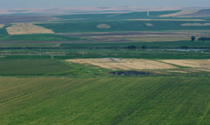
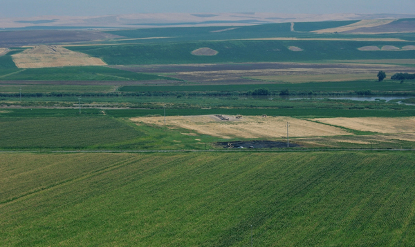
Hakemi Use is located within
the borders of the Bismil District, of the Province of Diyarbakir. It
is to 2km west of Ziyaret Tepe; which is a large-scale mound settlement
of the region and is considered to be Tuhsan, the provincial center
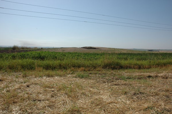
of Assyria. The site which is being located in the cotton field today
is a mound settlement of ca. 120m in diameter and 4m of height. Since
the area has been cultivated for many years, the upper layers of the
settlement are highly disturbed. Today, agricultural activies are being
carried out in the dry river bed of the Tigris which does not flow as
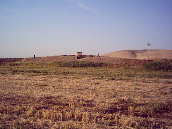
wide as it used to be. While the excavations have been carried out in
the northern section of the settlement in the 2001, 2002 and 2004 excavation
seasons, newly opened trenches in the south are excavated in the 2005
season.
 |
 |
 |